Building For Storms: How City Layouts Shape Floods

As climate change accelerates, the design of urban environments is increasingly recognized as vital for flood resilience.
Researchers are now applying physics-based approaches to understand how the layout of buildings and streets influences flood risk.
By analyzing cities as complex material systems, scientists have developed a new flood modeling method that highlights significant differences in flood vulnerability across urban landscapes worldwide.
Impact of Urban Form on Flood Risk
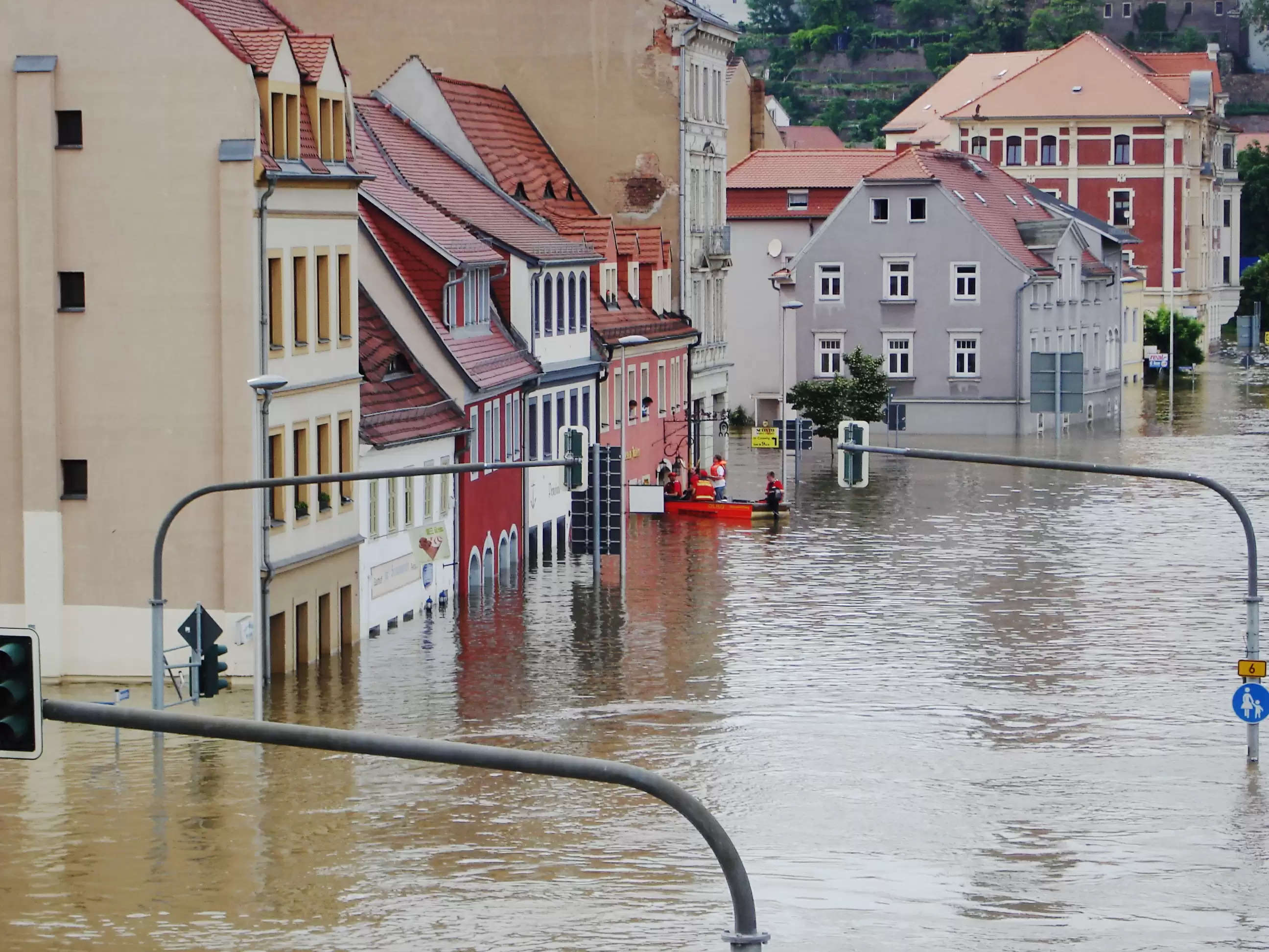
Cities globally are experiencing more frequent and intense floods due to stronger storms and urban expansion.
Recent studies reveal that a city's physical form—particularly building density and street networks—significantly affects flood severity.
By applying principles from statistical mechanics, researchers have created a model that predicts neighborhood-level flood hazards.
This approach has already uncovered connections between urban design, flood damage, and extreme weather, offering valuable insights for city planners and engineers.
Innovations in Flood Modeling
Traditional flood modeling often struggles with limited data, making accurate risk assessments difficult.
To overcome this, researchers developed a new framework based on the physical characteristics of urban environments, allowing for precise predictions even in regions with scarce data.
This breakthrough resulted from extensive flood simulations that accounted for various city layouts, leading to a simple yet powerful formula applicable worldwide.
This formula not only aids in planning but also serves as a valuable educational tool for future engineers.
Designing Safer Urban Spaces
The arrangement of city blocks significantly impacts pedestrian safety during floods.
Researchers have examined how different urban layouts—such as grid patterns, staggered buildings, and enclosed blocks—affect water flow and wind, which in turn influences street-level safety.
They found that enclosed blocks and buildings with rounded or recessed corners offer better protection by reducing dangerous floodwater and wind speeds. However, the interaction between wind and floodwater is complex, with wind sometimes stabilizing and other times destabilizing pedestrians.
As cities continue to expand, integrating these findings into urban planning could enhance flood resilience and improve pedestrian safety.
Incorporating physics-based insights into urban planning can greatly enhance flood resilience and pedestrian safety. As cities continue to grow and face more extreme weather, adopting these strategies will be crucial for safeguarding communities and minimizing flood-related damage.
.jpg)
